Since 2007, archaeologists from the University of Glasgow have been investigating the rich and diverse archaeology of eastern Strathearn as part of the Strathearn Environs and Royal Forteviot (SERF) project. The results will be published in a series of academic papers and a monograph, but in the meantime the team have created an archaeological app to bring the findings to a wider audience.
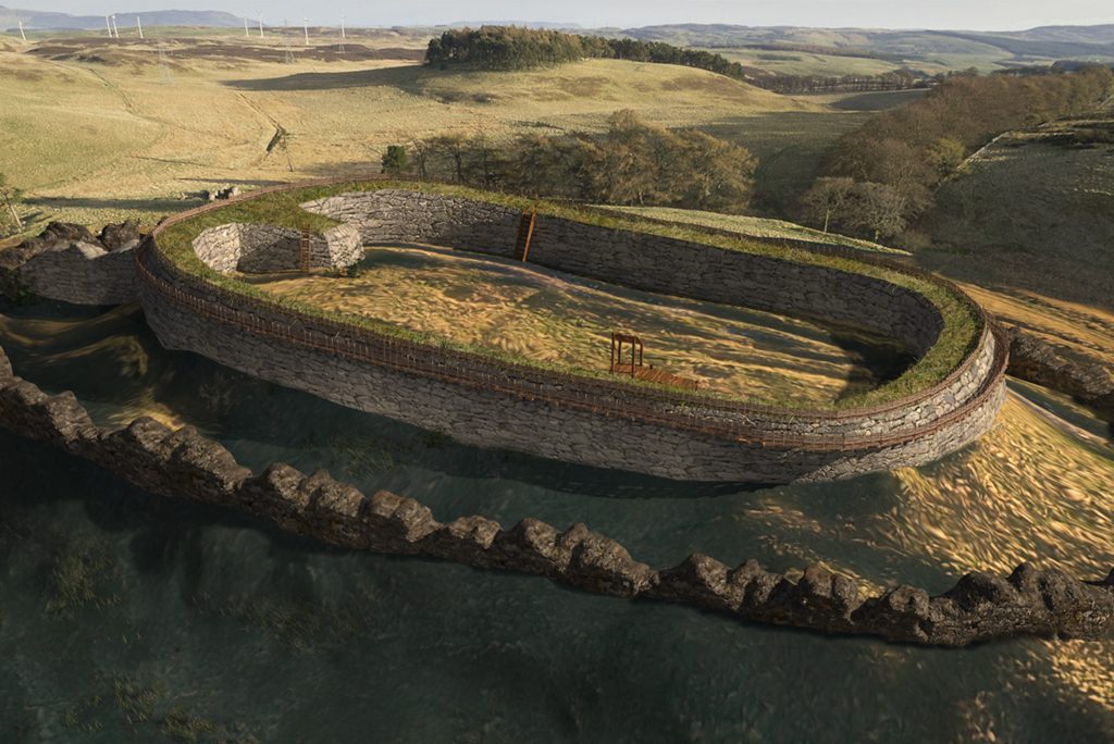
One strand of the research explored and compared ten hillforts within the landscape of Strathearn. Working in collaboration with talented professionals Dr Alice Watterson, Kieran Baxter, John Anderson and Kieran Duncan of the University of Dundee’s 3DVisLab, SERF developed a web app to show different ways to engage with archaeological discoveries.
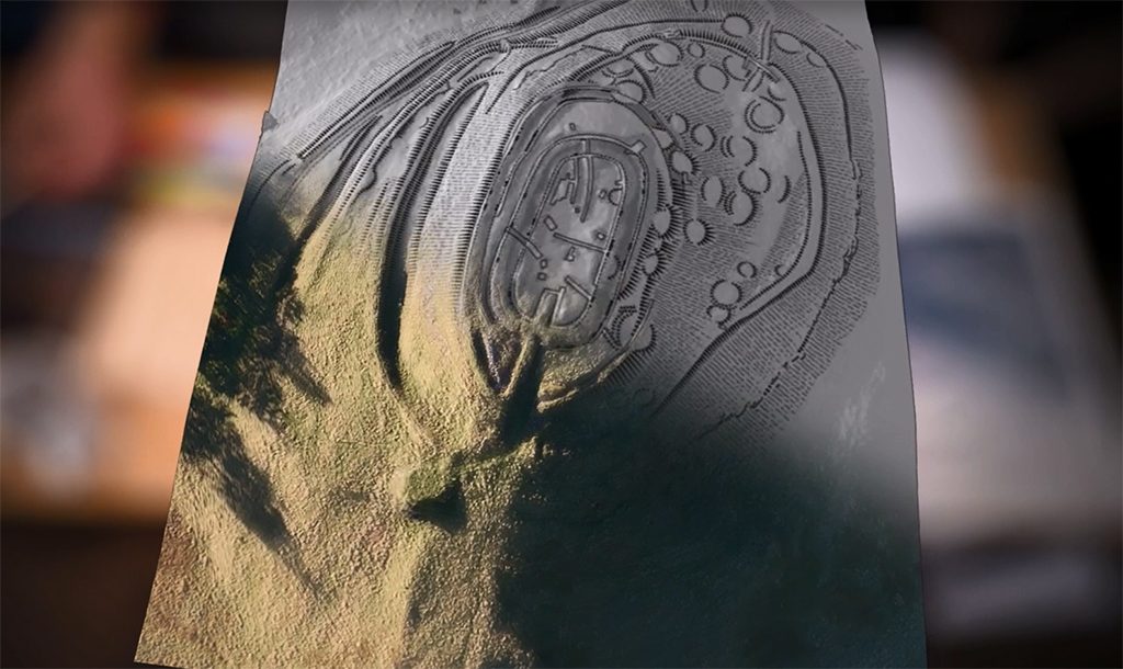
Archaeological visualisation, or the act of picturing the past in the present, is a complex area of research. We don’t know exactly how things looked in the past, and often the only evidence we might have is a lump or bump, a fragment of pottery or bone, or scratch marks from an ancient tool. In order to create a visual representation of how settlements, tools and buildings might have looked like in the past, we have to consider:
- remaining evidence
- interpretation, often developed over years referring to primary and secondary sources
- and scientific data collection.
Traditional modes of representation, such as an information panel at a historic site, generally ask for visuals to help visitors understand what something looked like originally. However, as soon as an image is chosen, it is then seen by many as the conclusive or definitive version – but the reality is there may be different theories, changing over time as new information comes to light.
How then might we use visualisation to better reflect the fluidity of the interpretive process, and engage audiences more meaningfully with the ways excavated evidence challenges archaeologists?
Our answer was to create a digital resource that tries to explore creative methodologies and outputs. The interface shows how we can bring together a range of visual digital media, including photogrammetry, aerial photography, HES survey data, 3D reconstruction, and film-making to open up the processes behind excavation and interpretation to a general audience. The hope is this will more accurately reflect the multi-layered, multi-vocal and sometimes ambiguous processes involved in archaeological interpretation. It will also act as a dynamic archive now that our excavations have concluded.
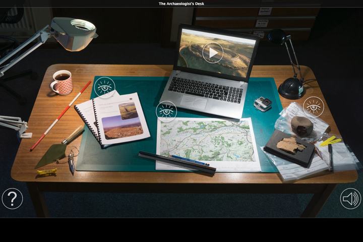
Explore the web app on the 3DVisLab website.
Fieldwork and developments of this interactive resource was grant supported by Historic Environment Scotland.
Dr Tessa Poller is director of the SERF hillforts project, and an archaeologist at the University of Glasgow.