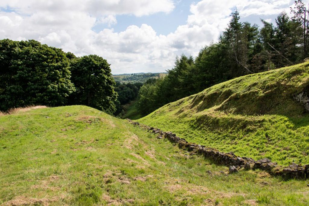
The Antonine Wall, running from the Firth of Forth in the east to the Firth of Clyde in the West, was Rome’s north-western frontier for a generation in the mid-2nd century AD. It was built by the governor Quintus Lollius Urbicus under the orders of the Emperor Antoninus Pius, the successor to Hadrian.
The Wall was home to soldiers from around an Empire which stretched from Scotland to the deserts of North Africa.
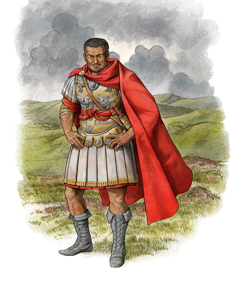
A reconstruction illustration of Quintus Lollius Urbicus
A Multicultural Empire
Although not a term in use at the time, nowadays we would regard the Roman Empire as multicultural. Rome was a mosaic of cultural diversity and was home to people from many different countries. Those who became part of the empire continued to worship their own gods and maintain their cultural traditions.
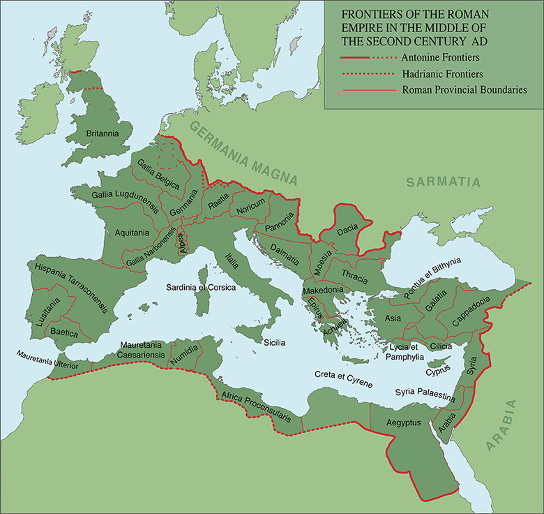
A map showing the extent of the Roman Empire
Army regiments were organised based on ethnic identity. Regiments posted along the Antonine Wall were filled with soldiers from across the Empire. Tungrians (from modern-day Belgium) and Vardullians (from Spain) were stationed at Castlecary fort. Thracians from Bulgaria manned Mumrills fort. Hamian archers from Syria could be found at the centre of the Wall in Bar Hill fort.
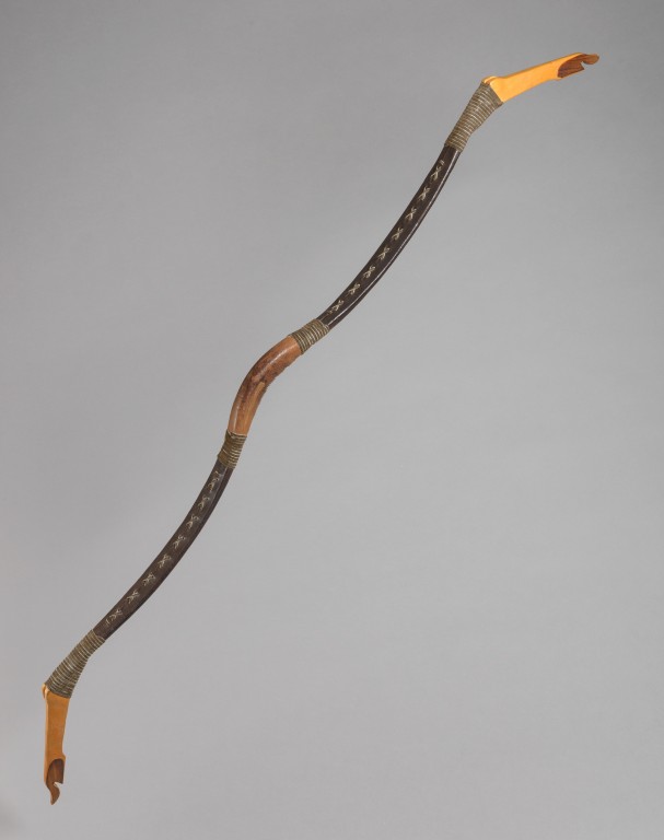
A replica Hamian bow, based on those used by Syrian archers at Bar Hill Fort. Part of a new set of educational resources for the Antonine Wall.
The African connection
The Syrian connection was well known and Lollius Urbicus was originally from Numidia (modern day Algeria). But in the 1990s, the late Dr Vivien Swan identified pottery from various sites on the Antonine Wall of a north African style. One particular form of casserole dish may have been a precursor to the modern tagine. Other dishes were of a brazier style, a type of cooking more popular in north-west Africa than northern Europe.
With this evidence, it was argued that potters with first hand knowledge of north African pottery and soldiers who wished to cook in a north African style must have been at the Wall. The north African connection was born.
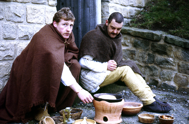
Members of the Cohors Quinta Gallorum reenactment group cook food over a replica of a brazier style pot.
The Mauretanian War
Ancient historians record Antoninus Pius dealing with a war in Mauretania (roughly modern-day Morocco). It has been suggested that soldiers involved in this war returned to Britain with some of the locals, perhaps to replace losses during the war or perhaps as slaves. However, this theory did not receive universal acceptance. Others have claimed that potters working at the Antonine Wall were simply well-travelled and knew how to work in north African styles.
New evidence: The Diploma
A recent discovery has provided fresh evidence for the Antonine Wall’s African connection.
When soldiers were discharged from the army they received a document inscribed in bronze, known as a military diploma. The diploma would often reward the recipient with Roman citizenship as reward for their service.
Thanks to Professor David Breeze and Dr Paul Holder, we now know of a recently discovered military diploma suggesting that the First Cohort of Baetasians were involved in the war in Mauretania. This regiment was also stationed at Bar Hill and Old Kilpatrick.
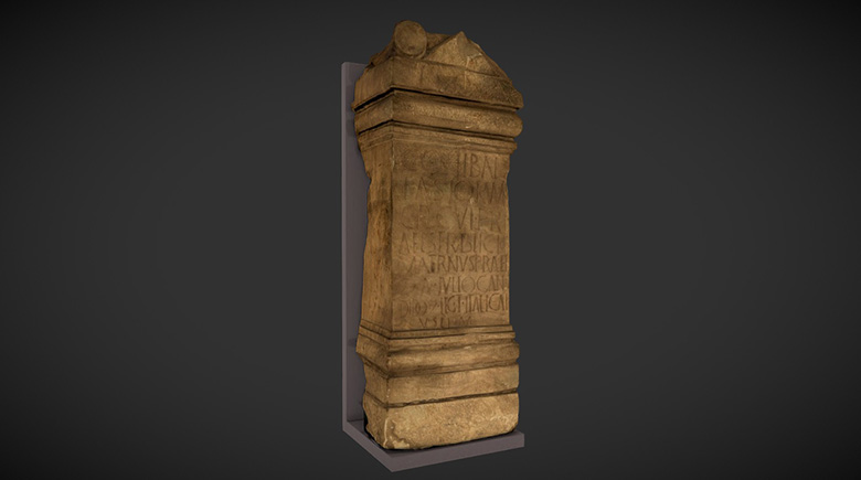
A screengrab from Sketchfab showing an altar to Jupiter from Old Kilpatrick, set up by a prefect of the First Cohort of Baetasians,
Africans in Scotland
We cannot confirm with absolute certainty that people from north-western Africa were stationed on the Antonine Wall. But it seems highly likely that there was movement of soldiers between the two provinces. This may be an explanation for the pottery and cooking styles recorded along the Wall. Further research can illuminate this intriguing theory.
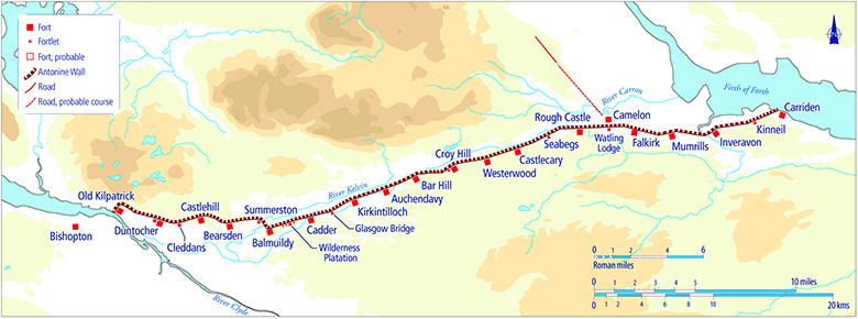
A map showing the Antonine Wall stretching from the Clyde to the Firth.