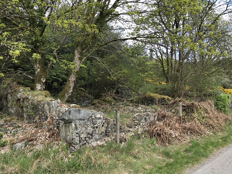
In 1763, a soldier working on the construction of the Old Military Road running from Carlisle to Portpatrick discovered lead within the bedrock at Blackcraig. Almost immediately, the Craigtown Mining Company bought a 38-year lease of the land and opened the Blackcraig Lead Mines.
260 years later the landscape is almost unrecognisable, but we’ve unearthed some interesting clues about this reminder of Scotland’s industrial past.
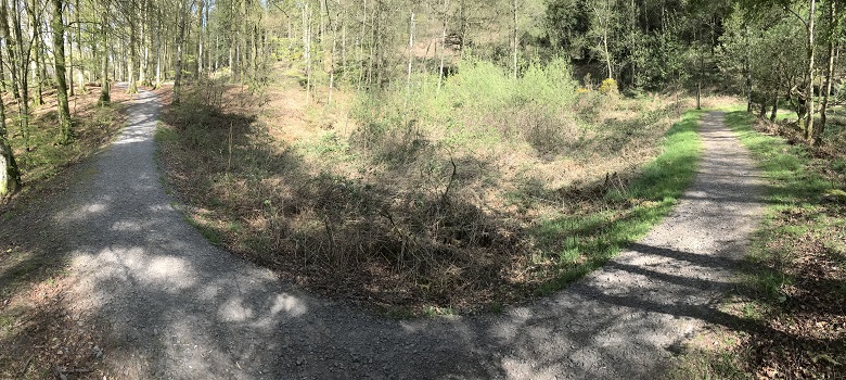
A path winds its way around the remains of a reservoir, one of many archaeological remains linked to industrial mining at Blackcraig
Treasure in the rock
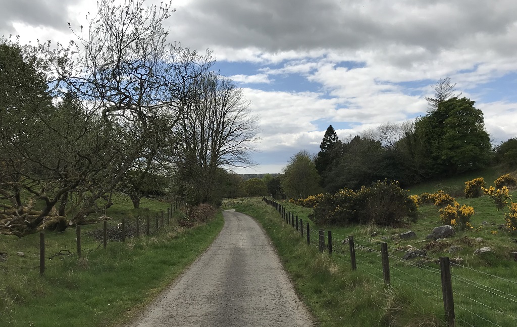
Blackcraig Lead Mines can be found on and below Daltamie Hill, near Newton Stewart in Dumfries and Galloway. Mostly managed by Forestry and Land Scotland, the area is known for walking and off-road biking. However, peppered within the trees and trails are the remains of a once-thriving industry.
Records show that commercial mining in the area was being considered from at least 1758 when Cuthbert Redshaw, William Carruthers and George Clerk formed the Craigtown Mining Company.
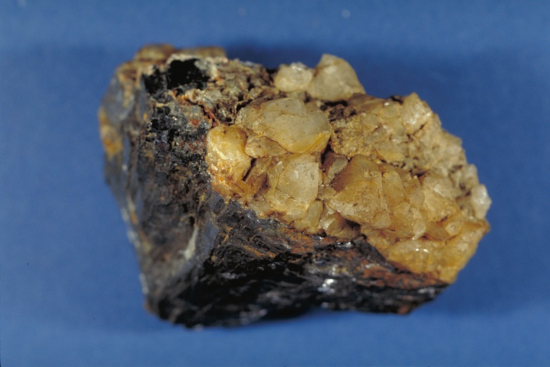
Lead ore found at Blackcraig (image courtesy of Dumfries and Galloway Museums Service, Stranraer Museum)
After the lead was discovered, the Craigtown Company opened two mines: East and West Blackcraig. Before too long, this now-peaceful spot was transformed into a hive of industrial activity.
Records tell us that the mining operation peaked around 1780. Financial losses were recorded in 1783 before the mines were closed in the 1790s. They would re-open twice: in the mid-1800s and in 1917, for a very short operation to help support the war effort.
A family affair
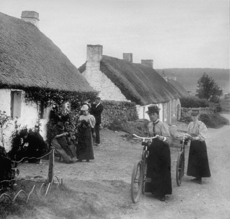
Dozens of people worked at the Blackcraig mines. In the 18th and 19th centuries, lead miners were typically self-employed. A mining company would advertise for workers and entire families would offer their services. Men and older boys would be in the mines while women and children would sometimes help with less physical processing tasks.
A family would offer a tender to dig a certain length of mine or extract a certain weight of stone each season at a pre-agreed price. They could work as often or as little as they chose, but they were only paid if they met the agreed targets.
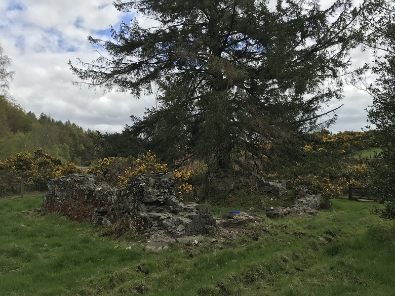
The remains of one of the cottages occupied by a mining family at Blackcraig
We know from the record that 44 men worked at Blackcraig mines in 1780. This included 25 miners and 7 smelters. The remains of their homes and community survive, meaning we can add a social aspect to the mostly-industrial history of mining.
Cottages and a community
Housing for the mining families would be provided, or offered for rent, by the mining companies. As such, the settlement of Craigton grew a short distance to the west of the mines.
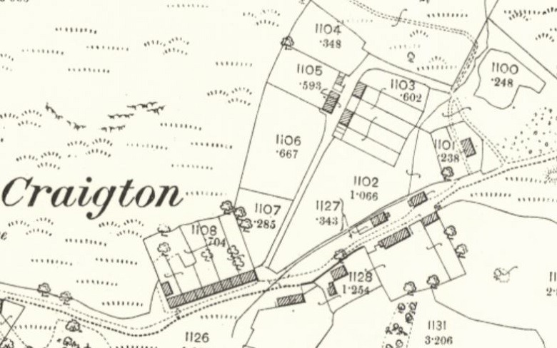
A map of Craigton dating to 1894 (reproduced with the permission of the National Library of Scotland)
Historic maps by the Ordnance Survey show the layout of the miners’ village. Studying them gives us an indication of the flucuating fortunes of the industry. Periods when the mines were open and profitable are marked by many occupied cottages. Harder times and closure, meanwhile, are reflected in abandoned homes.
Remarkably, on our site visit, we could identify every house and yard shown on the old maps. Around a dozen ruinous cottages can be seen, laid out around a triangular open space. Outbuildings, yards, gardens, along with sunken tracks and lanes, can also be made out.
Shafts, stones and stores
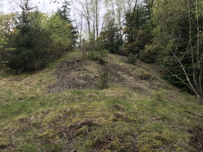
A mine shaft and spoil heap
Away from the village, we recorded an abundance of industrial remains which show just how busy Blackcraig once was.
At the base of the hill, six mine shafts are visible as large spoil heaps with a depression in the centre marking the infilled shaft. The entrance to the main shaft is still open with some stonework visible. The size and depth of this main shaft shows the major scale of industrial activity at Blackcraig.
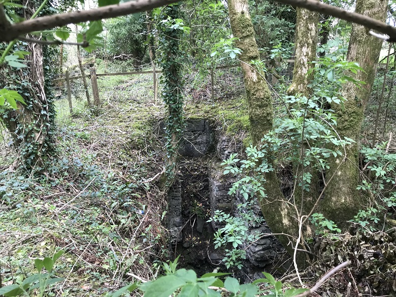
Looking into the main shaft
At the top of site is the lade, a man-made channel carrying water from the lochs of Bruntis and Little Bruntis. The water carried by the lade was used to power a stone crushing and processing mill.
West of the mill’s reservoir are two adits – stone cut tunnels connected to mine shafts for drainage and access. Nearby there are examples of open-cast mining and smaller shafts, once used for prospecting and trials.
Close to the cottages lie the remains of a long and narrow building, spilt into nine compartments or rooms. It’s probably the remains of mining stores or processing rooms.
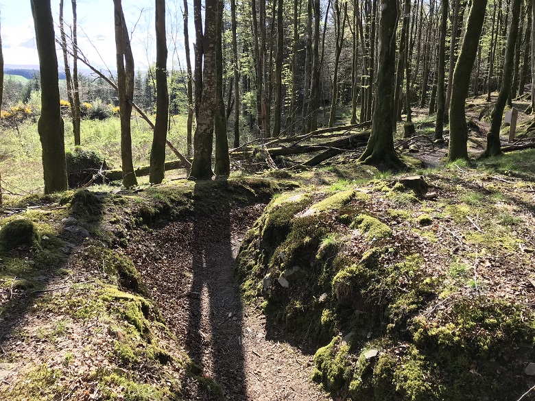
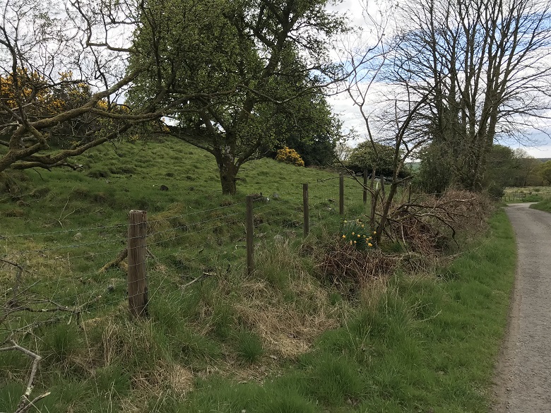
What’s left of the lade making its way through thre trees
From lead to lidar
Historical documents like maps and company records told us a great deal about life and work at Blackcraig. Combining our desk-based research with on-the-ground exploration truly helped us understand the way of life for miners here.
We learned even more on a second visit thanks to the benefits of collaboration between land managers and the heritage sector. Forestry and Land Scotland brought exciting new info: Lidar survey results.
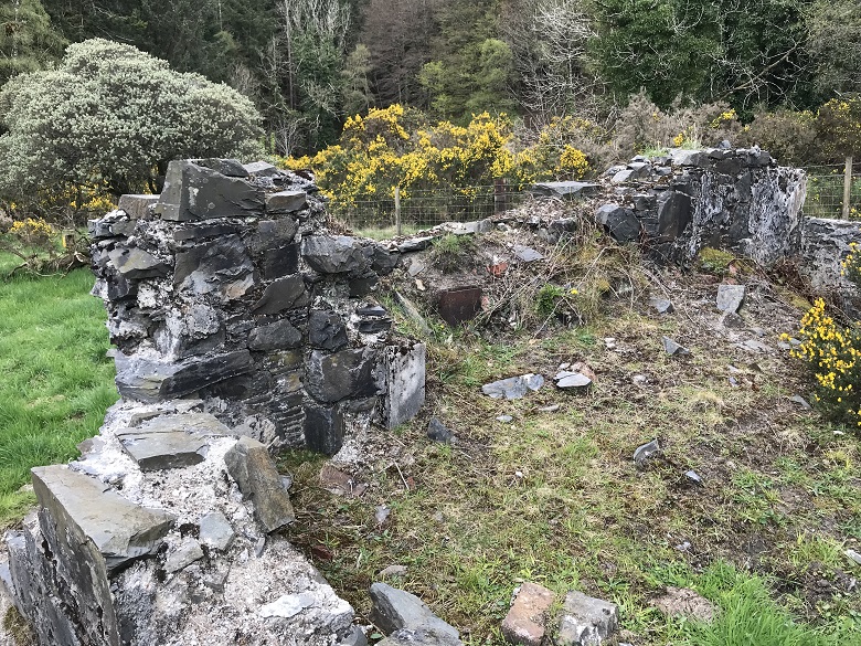
The remains of a gable and fireplace in a ruined cottage at the east end of Craigton
Lidar (an acronym of “light detection and ranging”) is a method for determining ranges using a laser from the air. It helped confirm the location and physical form of many features at Blackcraig and even identified some previously unrecorded features.
Our research and site visits demonstrated that the Blackcraig Lead Mines are of national importance. The remains of the mines and the workers’ village are now designated as a Scheduled Monument, helping us appreciate how 18th and 19th century industry massively and irreversibly shaped Scotland and our society today.
Even more to discover?
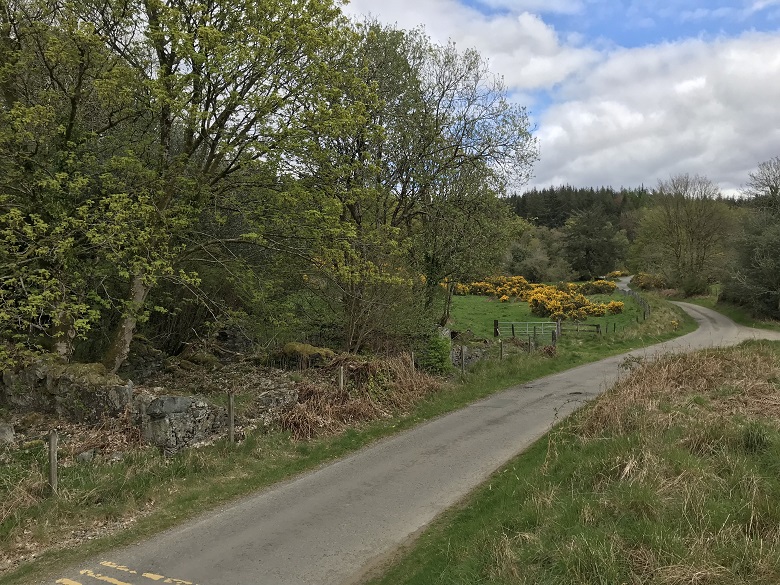
There could still be more to add to the story of mining in Blackcraig. We know a worker on the Old Military Road inadvertently started the industrial operations at the site. From archaeological records we can see that the road follows the line of a Roman road that ran from Glenlochar to Loch Ryan.
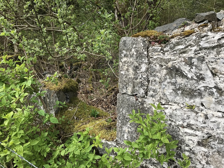
A long-abandoned window at Craigton
The Romans were certainly aware of valuable minerals and precious metals in bedrock and operated mines across their Empire. So could they have found the lead-rich Blackcraig bedrock first? We don’t have evidence for Roman mining at Blackcraig, but historical accounts from 1904 refer to ancient horizontal mine levels known as “old men” in the area. This type of mine pre-dates those sunk by the Craigtown Mining Company… so do we need to dig even deeper?
Find out more – or make a proposal!
Anyone is welcome to propose a historic place for designation by Historic Environment Scotland and the variety of sites we work with is staggering! Our Designations Team have explored everything from prehistoric forts to Second World War coastal defences.
You can read our full report into Blackcraig Lead Mines and browse thousands of other designated sites on our Heritage Portal. On Canmore, there’s a plethora of photos, prints, paintings and plans of Scheduled Monuments. For more social and industrial history, check out stories of life at Stanley Mills in the 1940s.

